Kootenay National Park, BC
Once we headed north from Cranbrook and away from broad river valleys, the scenery got steeper and rockier. Good bye, agriculture. Hello subalpine pines and at higher elevations, mixed conifers. Former fur trading towns became mining towns became lumber towns became tourist towns. The railroad was built through Marysville and Kimberley, leaving Fort Steele to founder. Fort Steele had been a defensive structure against the Kootenay Tribe, the Ktunaxa, (Tu N’ Sha), who are still around but deemed harmless. See ktunaxa.org. Today Fort Steele is a non-profit organization dedicated to 1890’s historical reenactment. Visitors watch bakers, blacksmiths, tailors, farmers, saloonkeepers, shopkeepers, etc. go about their trades. Costumed actors lead tours or hold pretend gunfights. Although I was interested in visiting the massive Clydesdales that pull the carriage tours through town, the horses alone were not enough of a draw to endure the historical education. Our daughter calls this “Old Timey Times.” It’s the sanitized TV version of the 1890’s where the ability to wear a corset and garter belt outweighs actual knowledge of the history. Even the Clydesdales snort and roll their eyes at the tall tales. So we skipped Fort Steele in favor of Marysville and Kimberley.

Marysville Falls, BC
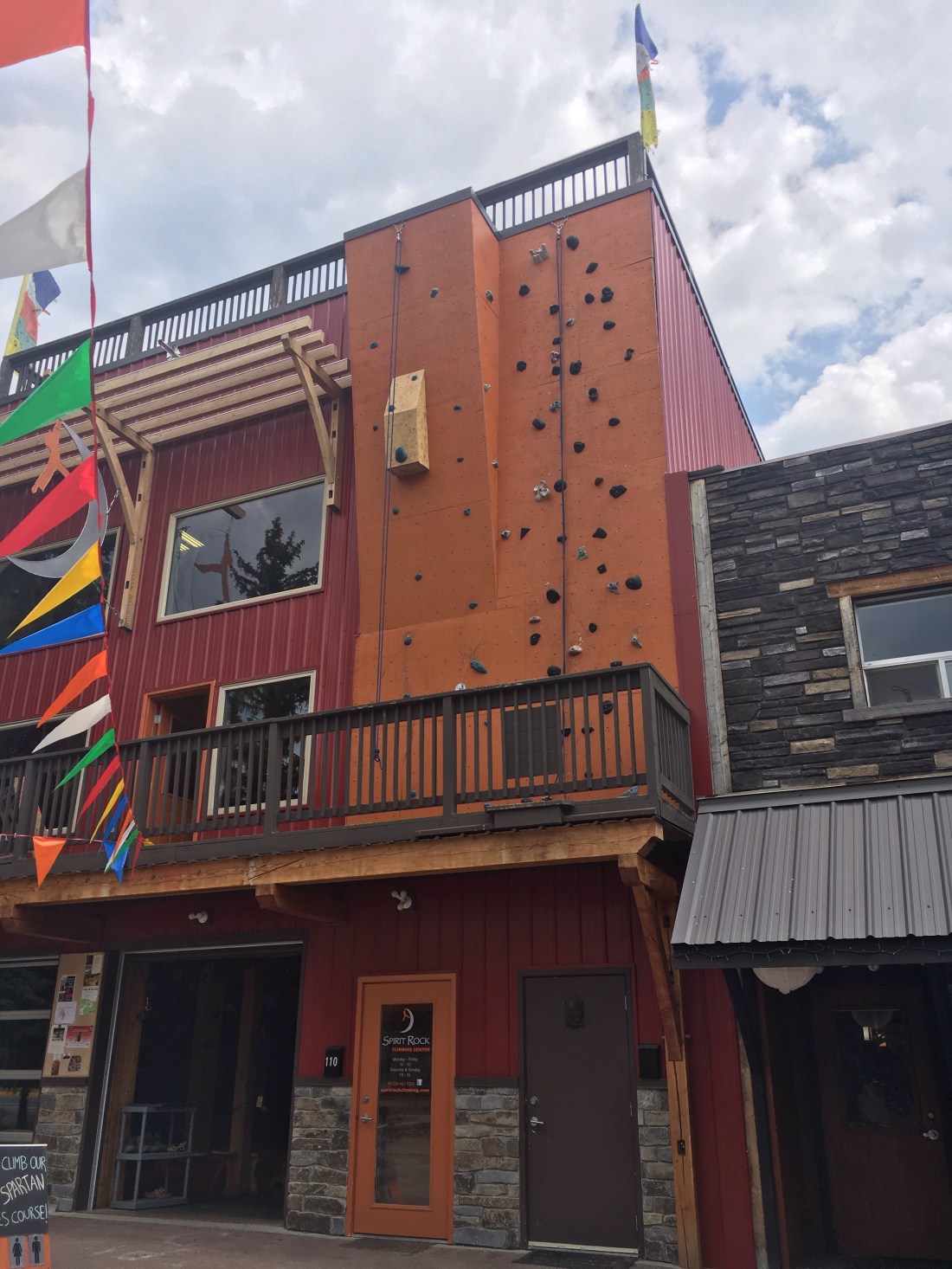
We stayed outside small but classy Kimberley, a ski town / golf town. It, too, like Leavenworth, had styled itself Germanic. Its pedestrian zone was called the Platzl and what had been Old West architecture was recast as Swiss mountain town. I think they sell more beer that way. I dropped off my used books at the library, picked up several more and chatted with the middle-aged ladies there. We ate lunch in the Platzl, where our British server knelt to love up Marco when he came to our table. We watched children playing in the creative fountain. When a cloudburst dampened us, they kept playing. A climbing school was located next door:
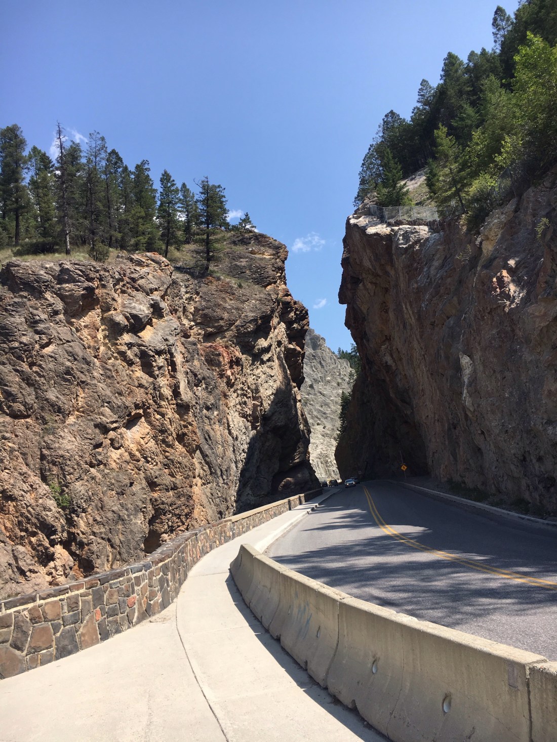
From Kimberley, we drove north to Radium Hot Springs, gateway to Kootenay National Park. Here we biked into the park. The hot springs were quite hot, 104 degrees F, and even the cold pool was warm on a sunny day. The crowd was international, including a bus group from Japan. I chatted with a Rumanian, Mikhail, and admired the rocky cliffs around the pools.
Unlike in US National Parks, Marco is permitted to hike the trails here. We hiked to unprepossessing Cobb Lake and had the somewhat overgrown trail to ourselves. It was hazy with smoke from wildfires in the Columbia River plain.

Our Kootenay Rockies trip ended abruptly the following day. Lightning strikes caused over 30 more wildfires in the area. Suddenly grimy firefighters appeared in the grocery store, buying granola bars and cereal. Suddenly the air went from smoky to choky. I was having trouble with my airways. When the highway into Banff closed due to wildfires, it was time for us to make new plans. What about the Olympic Peninsula?Let’s go to the rain forest to get away from the wildfires! South we drove to Norbury Lake Provincial Park, still under the haze. Then back west to Creston. In Creston we gave away our meat to the RV park proprietor and threw away our vegetables to make the US border crossing easier. I had seen the US guards pull the RV’s aside for further searches. I remembered the California border control guard to whom I surrendered my orange peels so I could keep the fruit. Early the next morning we motored into Idaho. I was relieved to put smoky Canada behind me.
